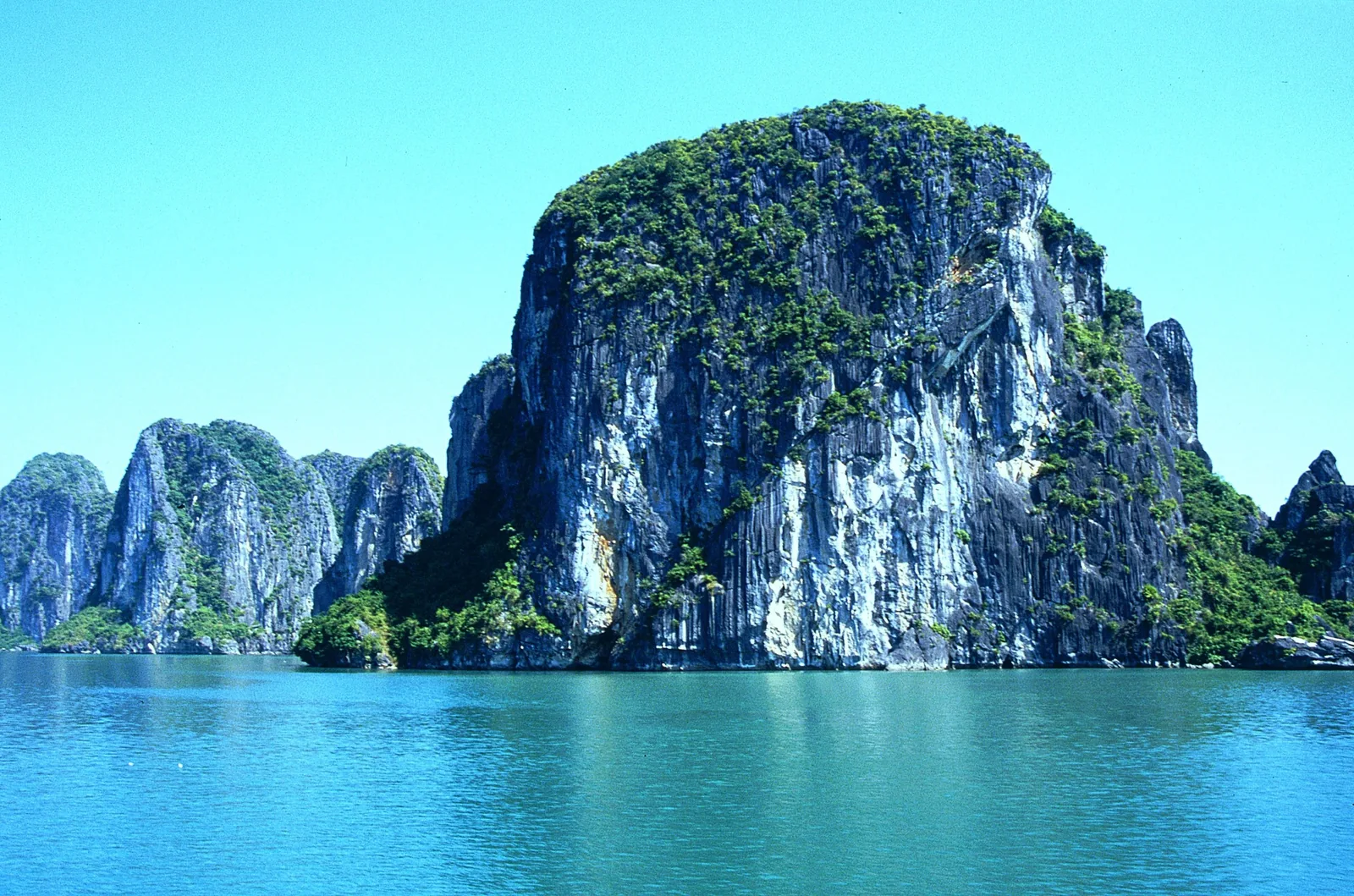
Karst, Water And Weather
The bay is the part of a Vietnam departure people photograph most and the part most easily ruined by a crowded boat. We book the same junk each season, know its cabins, and plan the storm months out of the calendar rather than hope.

Eating At Anchor
Boat kitchens run on what came off the fishing rafts that morning: prawns, mantis shrimp, squid and the flat clams steamed with lemongrass. Cha muc — squid pounded to a paste and fried into small cakes — is a Quang Ninh speciality, eaten with sticky rice at breakfast on shore rather than at dinner. Standards vary enormously between boats; ask what is local before you board.
Only On The Water
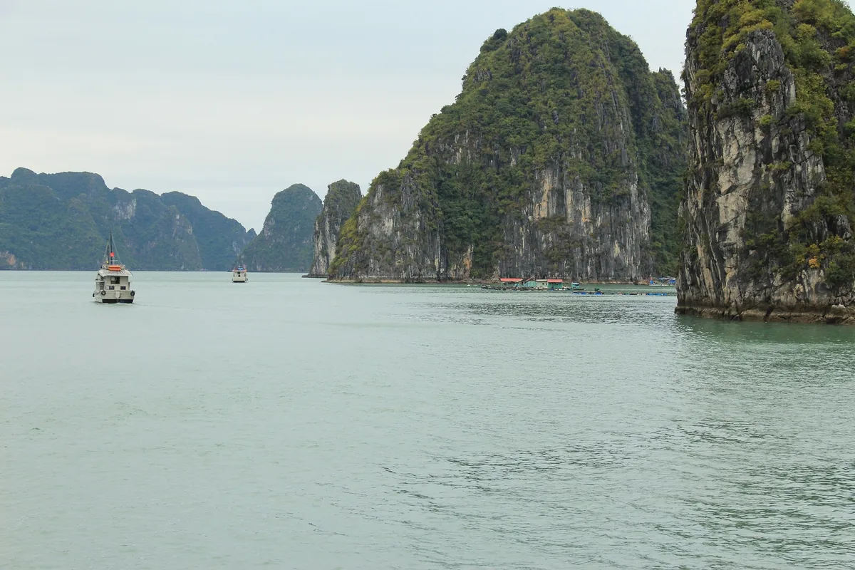
The interesting parts are not visible from a deck. Kayaks and bamboo sampans pass through low tunnels at the base of the karsts into lagoons closed on every side, the water inside them flat and green. Sung Sot is the famous cave and the most congested; the smaller openings on the Bai Tu Long and Lan Ha routes are often empty even in season.
The Bay’s Own People
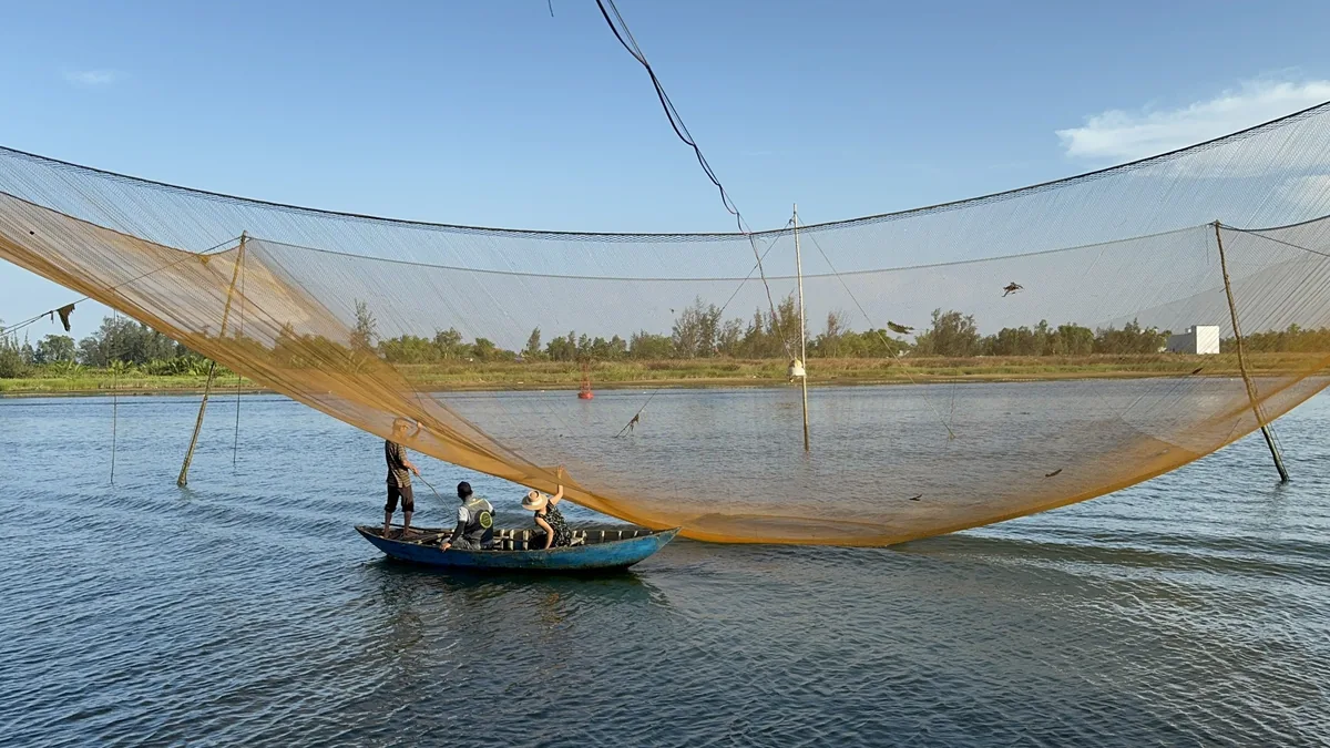
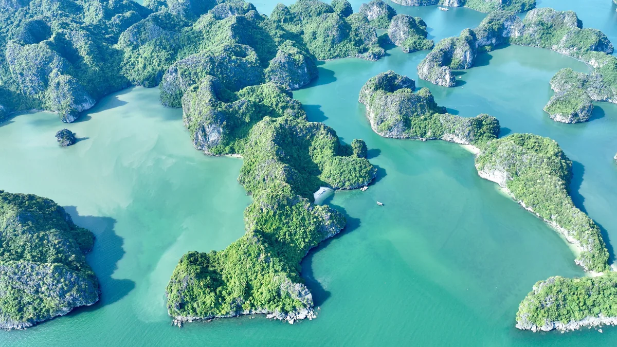
Families lived on rafts at Cua Van and Vung Vieng for generations until a relocation programme moved most of them ashore in 2014. Some still work the water daily — pearl rafts, oyster lines, fish cages — and will row you through the village and explain the tides. Crews on the smaller boats are mostly local men; ask them about the typhoon months.
Top Highlights
- Kayak through a low rock tunnel into a lagoon ringed entirely by cliffs, where the only sound is water moving against limestone.
- Spend a night at anchor away from the main channel, after the day boats have gone back and the bay has emptied.
- Climb the steps to the lookout on Ti Top island early, before the queue forms, for the view along the island chain.
- Row through the floating village at Vung Vieng with a local boatwoman and watch the oyster lines being lifted and worked.
- Eat cha muc, the pounded squid cake that Quang Ninh is known for, at a breakfast counter in Ha Long city.
- Cross to Lan Ha Bay on the Cat Ba side, where the same karsts stand over a fraction of the boat traffic.
Region
Quang Ninh, Gulf of Tonkin
Airport
Noi Bai (HAN), about 2.5 hours by road
Best Months
October to December, and March to May
Suggested Stay
One night afloat, two if you add Cat Ba
Known For
Limestone karsts, overnight boats, sea caves
Pairs With
Hanoi, Ninh Binh, Cat Ba
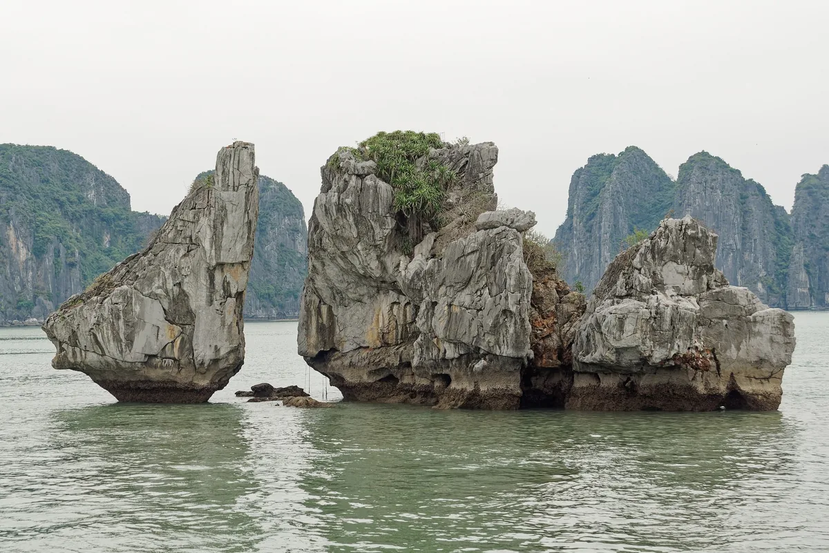
Halong lies in the Gulf of Tonkin, about 165 kilometres east of Hanoi, and covers roughly 1,500 square kilometres of sheltered water. The towers are limestone laid down over hundreds of millions of years, eroded into cones and then flooded as sea levels rose. The same formation runs north-east into Bai Tu Long and south-west into Lan Ha, off Cat Ba island.
Administratively it is all Quang Ninh province except Lan Ha, which belongs to Hai Phong. In practice the three bays are one landscape with three sets of boat licences, and that is what really determines where your vessel is allowed to go. Bai Tu Long and Lan Ha carry noticeably fewer boats than the central route past Sung Sot cave, where several hundred can be moving on a busy day. It is worth knowing which of the three you have actually booked, because the brochures call all of them Halong.
People have fished these waters for thousands of years; the Soi Nhu and Ha Long cultures left shell middens in the caves. The bay has also been a defensive line more than once. The Bach Dang river at its western edge is where Vietnamese forces destroyed invading fleets on iron-tipped stakes in 938 and again in 1288, timing both attacks to the falling tide.
Coal changed the province in the twentieth century and still does. Quang Ninh mines it, and the working port and power stations near Cam Pha form part of the view on some northern routes. Nobody puts that on a poster, but it is there.
UNESCO inscribed the bay for its scenery in 1994, added a geological criterion in 2000, and in September 2023 extended the property to include the Cat Ba archipelago, making it a single World Heritage site shared between two provinces.
October to December is the reliable window — dry, clear, cool enough to sit on deck after dark. March to May is warmer and greener, with more haze on the water.
January to March brings sea fog. On some mornings the karsts are simply not visible, and no boat can do anything about it. June to September is hot and swimmable but also the typhoon season: the port authority suspends departures when a storm is forecast, cruises are cancelled outright rather than shortened, and that call is made on the morning, not days ahead. Two to four typhoons affect the north in an average year, with August the riskiest month.
Avoid Tet and the first week of October, when Vietnamese and Chinese holidays fill every cabin. In the storm months we leave a spare night in the itinerary so a cancellation does not cost you the bay altogether.
From Hanoi the expressway reaches Ha Long in about two and a half hours, and Hai Phong — for the Lan Ha boats — in around two. Almost every itinerary includes the transfer, boards at midday and disembarks late the next morning, which gives roughly twenty-four hours on the water. That arithmetic is why a day trip is poor value: four of its hours are spent in a vehicle.
Van Don airport serves the province directly but has few international connections, so nearly everyone arrives through Noi Bai. Cat Ba island is reached by road and a short ferry, or by boat from Ha Long.
On the bay you move by tender, kayak or bamboo sampan. Boats keep to licensed routes, and the sightseeing fee is charged per route at the harbour — normally already included in the price of an overnight cruise.
The real decision here is a boat rather than a hotel, and the range is wider than anywhere else in Vietnam. Vessels differ enormously in cabin size, engine noise, crew training, food, and how many other boats they moor beside at night. A cheap overnight usually means a crowded anchorage and a queue at the cave by seven in the morning.
One night is standard and gives you a sunset, a night at anchor and an early morning. Two nights buys distance: the second day goes further into Bai Tu Long or Lan Ha, where the traffic thins out and the swimming is better.
Staying on Cat Ba island instead suits travellers who want a beach, a national park and some walking as well as the water. For small groups we favour boats with fewer cabins over boats with more facilities.
Cat Ba is the largest island in the archipelago and the least like the rest of it: a national park with langurs, limestone hiking, and a harbour town with a life of its own. The old Cannon Fort above the town gives the clearest overview of Lan Ha.
Yen Tu, an hour inland, is the mountain where a thirteenth-century king abdicated to found the Truc Lam school of Vietnamese Buddhism. Its pagodas climb the ridge, and a cable car spares you the worst of the ascent.
Most travellers arrive from Hanoi and return the same way, but the expressway east runs on to Mong Cai and the Chinese border, and Ninh Binh is a straightforward three hours south for the same limestone without the sea. We generally treat Halong as two nights of a northern loop rather than a destination in itself.
Journeys through Vietnam
Departures that take in this part of Vietnam, plus the other places we cover there in depth.