Where The River Widens
Our southern Laos departures finish here because there is nowhere sensible to go afterwards except across the border — which some of them do.
River Food
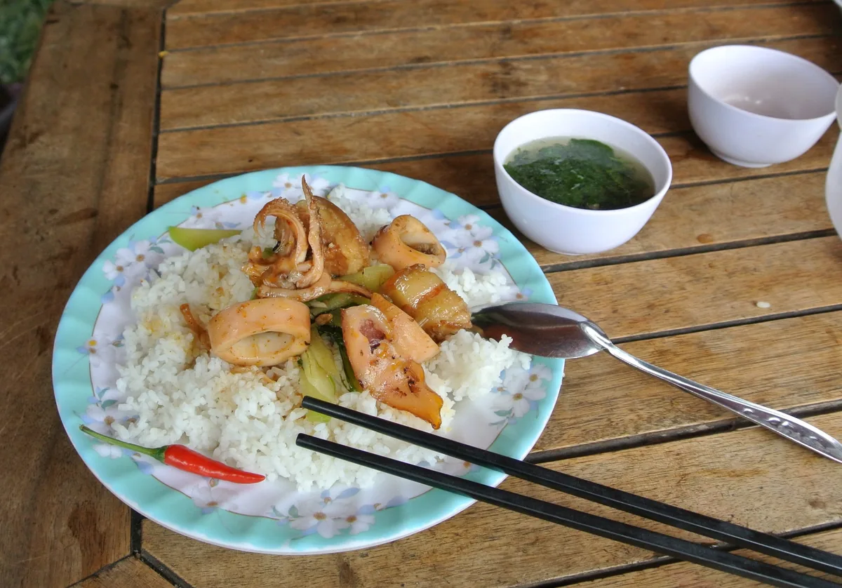
Almost everything comes out of the water. Mekong fish is grilled over coals, steamed in banana leaf, or turned into laap with mint, roasted rice powder and a serious quantity of chilli. The prized catch is pa beuk, the giant Mekong catfish, now protected and very rarely landed. Breakfast in most households is sticky rice with jeow, a pounded chilli relish, and whatever the nets brought in overnight.
The French Railway
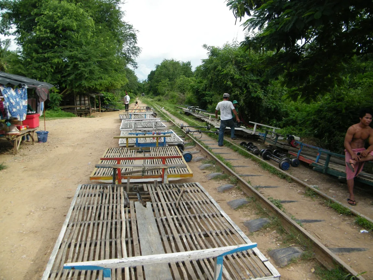
In the 1890s the French set out to open the Mekong as a road into China and found the falls in the way. Their answer was a seven-kilometre railway across Don Det and Don Khon — the only line ever built in Laos — with a bridge between the islands and steamers hauled overland in pieces. The last train ran around 1940. You cycle the embankment now.
Island Households
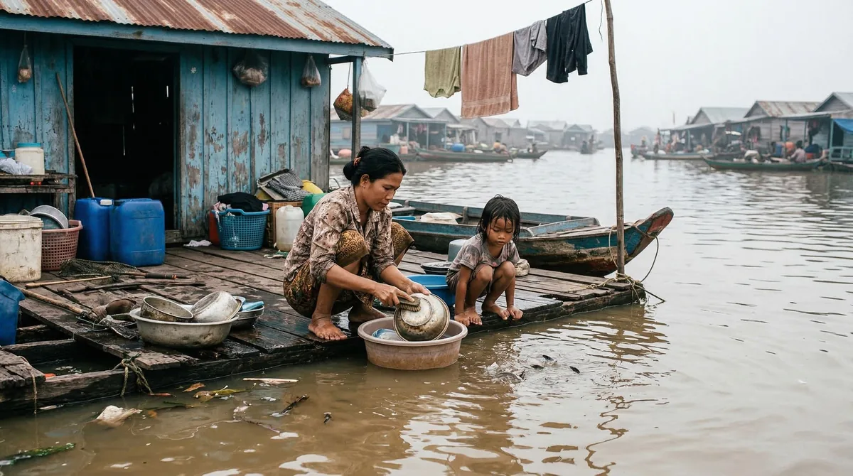
Islanders fish with lift nets and bamboo traps wedged into the rapids, a technique that shifts with the water level through the year, and most will show you if you turn up at the right hour rather than the convenient one. Weaving, palm sugar and two rice harvests fill the rest of the calendar. Our guides come from Champasak and arrange the visit as a call, not a viewing.
Top Highlights
- Cycle the old French railway embankment across Don Det and Don Khon, and over the concrete bridge the colonial engineers left behind.
- Stand at Khone Phapheng, part of the widest waterfall complex on earth and the reason the Mekong has never been navigable through to China.
- Walk down to Li Phi falls on Don Khon in the late afternoon, where fishermen still set bamboo traps in the white water.
- Take a boat towards the Cambodian border at first light to look for Irrawaddy dolphins, and be told honestly how few are left.
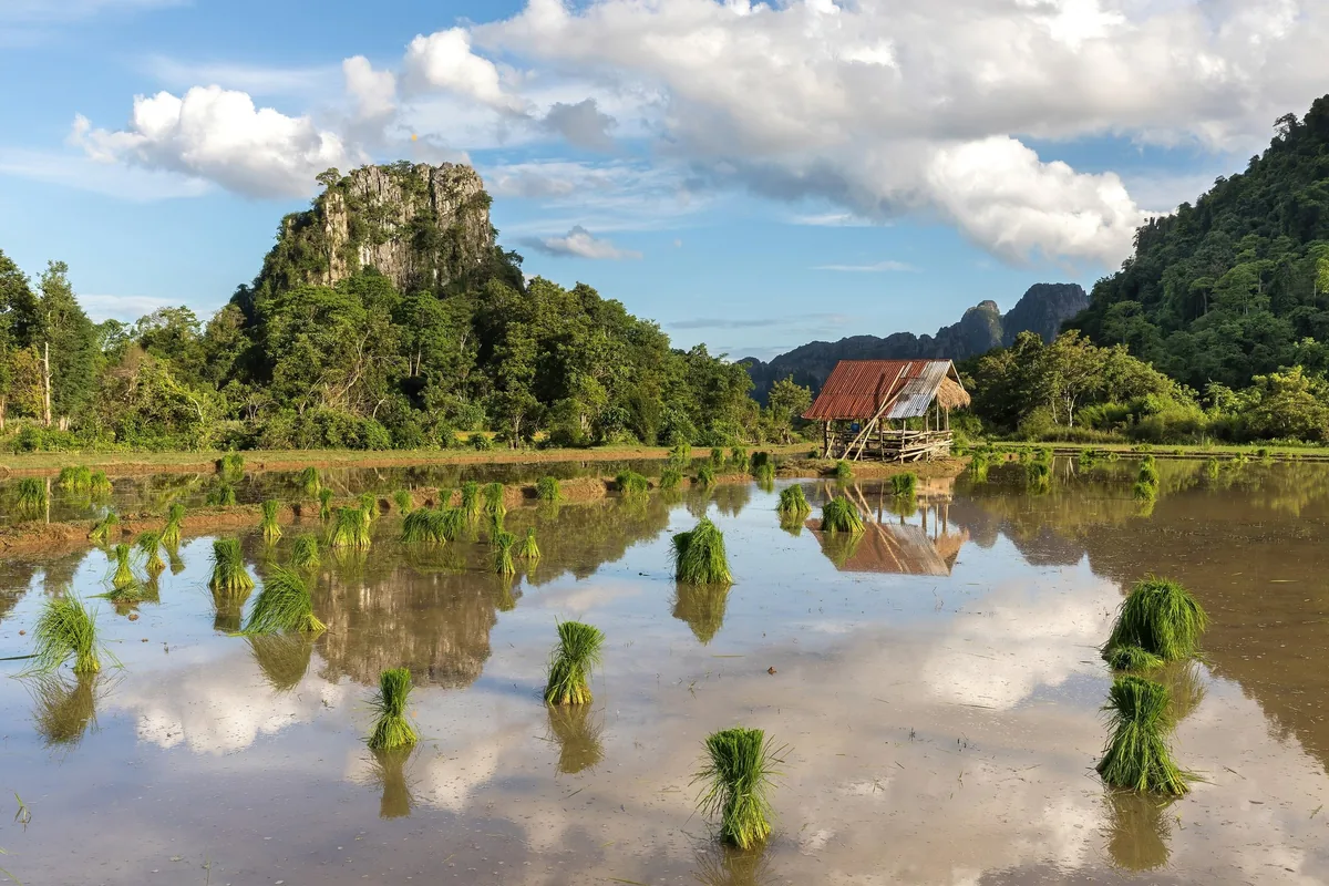
- Hire a bicycle on Don Khong, the largest island, and ride a flat loop past rice fields, village temples and almost no traffic.
- Do nothing whatsoever for a full day in a hammock over the river, which is the thing this place is genuinely best at.
Region
Champasak province, southern Laos
Airport
Pakse (PKZ), about 3 hours by road and boat
Best Months
November to February
Suggested Stay
Two nights, three with Khone Phapheng
Known For
Mekong islands, Khone Falls, French railway
Pairs With
Pakse, Bolaven Plateau, Wat Phou
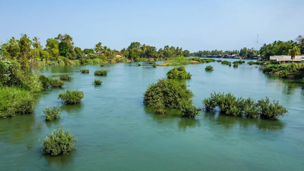
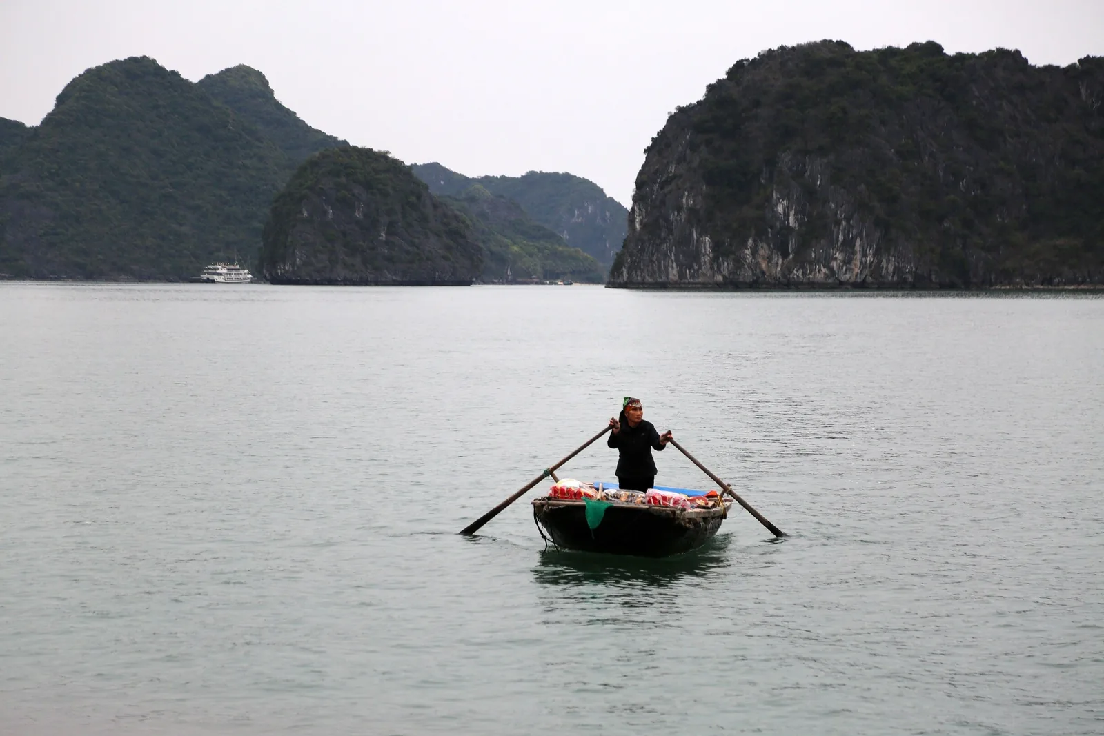
Si Phan Don is the last stretch of the Mekong in Laos: an inland delta where the river fans out to some fourteen kilometres wide around hundreds of islands, then falls through the Khone cataracts into Cambodia. In the dry season sandbars surface everywhere and the island count rises; through the wet season most of them disappear again.
Three islands take visitors. Don Khong is the largest, quiet and rural, with a paved loop road and few foreigners on it. Don Det has the backpacker strip at its northern end, riverside bungalows and the sunset side. Don Khon, joined to Don Det by the old railway bridge, is greener and calmer and holds the falls and the locomotive.
The rhythm is the point. Boats cross when they cross, the electricity is newer than most of the buildings, and the strongest recommendation anyone will give you is which side of the island to be on at six in the evening.
These islands were part of the Khmer world long before they were Lao. Wat Phou, upstream near Champasak, was already a major Khmer temple by the eleventh century, and the culture reached down the river as far as here.
The French arrived in the 1890s determined to use the Mekong as a highway into southern China, and Khone Phapheng stopped them cold. From 1893 they built a portage railway across Don Det and Don Khon, dismantled steamers and carried them overland, and eventually abandoned the China idea altogether. The line carried freight until around 1940.
More recently the Don Sahong dam, built across one of the falls’ main channels and generating since 2020, has altered fish migration and flow in ways still being argued over. It is part of why the Irrawaddy dolphins that once lived in the pool on the border have effectively gone.
November to February is the dry, cool season and the best time to be here: comfortable days, evenings cool enough on the water for a layer, and low river levels that expose the sandbars and turn the falls into a set of separate channels rather than one sheet.
March to May is very hot — high thirties and humid, with the islands offering shade and not a great deal else. June to October is the monsoon and the river rises several metres. The falls are at their most violent, the greenery is at its best, some island paths flood, and crossings can be cancelled outright in heavy weather.
August and September show Khone Phapheng at full discharge, which is worth seeing if you accept a wet week around it. For most travellers, December and January are the answer.
Pakse is the gateway: a small international airport three kilometres from town, with flights from Vientiane, Bangkok and Siem Reap. From Pakse it is roughly three hours by road south to Nakasang, the mainland pier, then fifteen to twenty minutes by longboat to Don Det or Don Khon. Don Khong is reached by road bridge instead.
The alternative approach is the land border with Cambodia at Nong Nok Khiene, half an hour south, which makes the islands a natural last stop before Stung Treng and Kratie.
On the islands there are effectively no cars. You walk, cycle or take a boat. Bicycles are the standard, the terrain is flat, and the tracks are dirt — sticky red dirt after rain. Bring a torch, because lighting between the villages is patchy and the paths are unlit.
Accommodation is bungalows, most of them wooden and most of them facing water. On Don Det the northern strip is cheap, sociable and occasionally loud; walk fifteen minutes down the same island and it goes quiet.
Don Khon is where we usually stay. It has a handful of restored French-era buildings and river-facing places with proper rooms, and it is a short cycle to the falls and the railway bridge. Don Khong suits travellers who want a village rather than a scene, with more comfortable rooms and almost nothing to do in the evening.
Standards are simple across all three islands. Hot water and air conditioning exist but are not universal, and the better addresses are the ones with a good verandah rather than a good bathroom. Book the room for the view — you will spend more hours on that balcony than you will in the bed.
Khone Phapheng, on the mainland channel, is the largest waterfall in Southeast Asia by volume — not tall, at around twenty-one metres, but part of a cataract system nearly eleven kilometres across, and audible well before it is visible. Half a day from the islands.
Going north, Wat Phou near Champasak is a Khmer temple complex stepped up a hillside above the plain, older than most of Angkor and on the UNESCO list; it takes a morning, best early. The Bolaven Plateau above Pakse is coffee country — planted by the French, cool at altitude, with waterfalls and a two- or three-day loop by road.
Going south, the Cambodian border is thirty minutes away, and Stung Treng, Kratie and eventually Phnom Penh follow the same river down. Several of our journeys use this crossing rather than doubling back north to Vientiane.
Journeys through Laos
Departures that take in this part of Laos, plus the other places we cover there in depth.